

DEM Digital Elevation Model
Опис производа
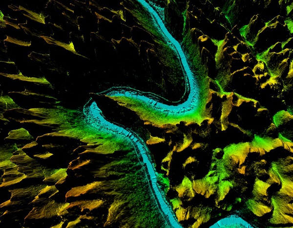
DEM digital elevation model is a 3D representation of the terrain elevations found on surface of the earth. DEMs are generated from variably-spaced Lidar ground points, or they can be created using a raster grid.
Feiyan Technology focus on creation of high quality DEM Digital Elevation Model to support specialized applications such as 3D modeling, volumetric calculations, and powerline as-built surveys.
Specifications of DEM Digital Elevation Model
Resolution: ≥3 points/m²
Project area: 39,090 km²
Duration: 1 month
Output: DEM, DSM,classified point clouds
Application: forestry planning
Accuracy: ≥98%
Grid spacing: 2m
From: Guangxi Forestry Bureau